September, 2026
This is a repeating eventSeptember 15, 2027 9:00 am
INTERGEO
Event Details
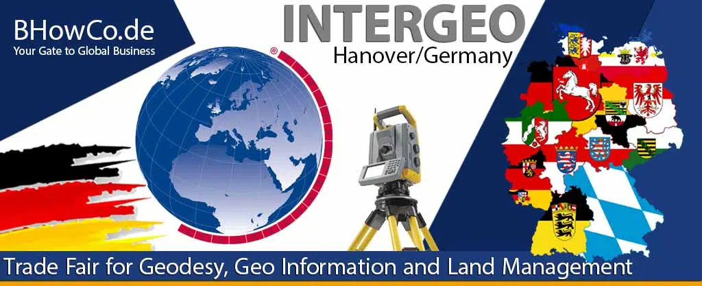
INTERGEO
15. – 17. September 2026 | Munich, Germany
Official Website: https://dvw.de/intergeo/en
![]() The strategic misjudgment at INTERGEO is viewing it as a specialist trade fair for surveying instruments and GIS software. This fundamentally misreads its role as the central nervous system for the geospatial data layer that underpins the modern world—where centimeter-precision data converges with AI, IoT, and digital twins to solve the most critical challenges in construction, urban planning, autonomous mobility, and environmental management. Success here is defined not by hardware specs, but by your platform’s ability to turn raw spatial data into actionable, automated insights for decision-makers who have never touched a total station.
The strategic misjudgment at INTERGEO is viewing it as a specialist trade fair for surveying instruments and GIS software. This fundamentally misreads its role as the central nervous system for the geospatial data layer that underpins the modern world—where centimeter-precision data converges with AI, IoT, and digital twins to solve the most critical challenges in construction, urban planning, autonomous mobility, and environmental management. Success here is defined not by hardware specs, but by your platform’s ability to turn raw spatial data into actionable, automated insights for decision-makers who have never touched a total station.
Strategic Snapshot
INTERGEO is the global platform where the future of the built and natural environment is mapped, modeled, and managed. It is where the providers of foundational geospatial data and the consumers of that data in adjacent high-tech industries converge to create the digital reality that will guide autonomous systems and sustainable development.
Why This Fair Matters in Germany’s Exhibition Ecosystem
Hosted in Munich, a global hub for engineering, automotive, and Industry 4.0, INTERGEO leverages Germany’s leadership in precision engineering and manufacturing. It attracts a unique dual audience: the traditional geospatial professionals (surveyors, mappers) and the new wave of data consumers from automotive (for autonomous driving HD maps), construction (for BIM and digital twins), utilities, and public authorities. Validation here, especially for solutions involving AI-driven feature extraction, real-time processing, or seamless integration into enterprise workflows, signals a vendor’s relevance in the evolving value chain where geospatial data becomes a critical utility for other industries.
Who This Fair Is For — and Who Should Skip It
Ideal for:
- Manufacturers of advanced measurement technology: mobile mapping systems, UAVs/drones with LiDAR and photogrammetry payloads, terrestrial laser scanners, and GNSS receivers offering centimeter-level real-time kinematics (RTK).
- Developers of geospatial software platforms and cloud services for processing, analyzing, and visualizing massive 3D point clouds and imagery, with strong APIs for integration.
- Providers of high-definition (HD) mapping and digital twin solutions for autonomous vehicle corridors, smart cities, and large-scale infrastructure projects.
- Specialists in remote sensing and environmental monitoring, offering data and analytics for climate change, agriculture, forestry, and disaster management.
Not ideal for:
- Suppliers of basic, manual surveying tools without digital output or connectivity, targeting only low-tech, traditional market segments.
- Generic software companies without a dedicated geospatial component, core expertise in spatial data structures, or understanding of industry-specific standards (e.g., OGC, CityGML, LandXML).
- Companies with a purely hardware-focused sales model, unable to articulate the data workflow and business intelligence their sensors enable for the end-client.
The 3–5 Day Moment vs. the 365-Day Reality
INTERGEO provides the essential global forum for launching new sensor platforms, demonstrating live data capture-to-delivery workflows, and forming the partnerships that bridge the gap between data acquisition and industry application.
The strategic rupture occurs in the “data integration and automation gap.” A sensor may capture stunningly detailed point clouds, but if the data pipeline requires weeks of manual processing by specialists, cannot be automatically classified and fed into a CAD or BIM model, or lacks the metadata structure for long-term asset management, its value plummets. The market is shifting from selling measurement devices to selling automated, actionable information services. The true partnership is proven by a vendor’s ability to deliver clean, structured, and immediately usable geospatial intelligence into the customer’s existing digital ecosystem, day after day.
Strategic Next Step
Before exhibiting, critically evaluate if your offering is positioned as a data-providing device or an intelligence-generating system. For a framework on building the platform credibility required, review our analysis of trade fair visibility in Germany.
Explore the Ecosystem
German Trade Fair Event Directory
German Trade Fair Exhibitor Checklist
Strategic FAQs for Exhibitors
How should a hardware manufacturer’s value proposition evolve in a software-driven market?
Frame the hardware as a reliable, high-fidelity data capture node within a larger intelligence system. Provide seamless, native integration with leading processing platforms. Shift the conversation from acquisition speed and accuracy to total time-to-insight and how your device reduces downstream processing labor through better onboard data management or pre-processing.
What is the key concern for a construction or engineering firm evaluating a new geospatial technology?
Seamless BIM/GIS integration and workflow efficiency. They need assurance that your data will plug directly into their Autodesk, Bentley, or Esri environments without costly conversion or loss of fidelity. Demonstrate a clear, documented path from your output (e.g., point cloud) to their deliverable (e.g., an updated 3D model for clash detection).
For a software/AI company, how do you prove value to surveyors concerned about automation replacing their expertise?
Position AI as a force multiplier, not a replacement. Show how your tools automate the tedious, repetitive tasks (like classifying millions of points), freeing up the surveyor to focus on higher-value analysis, quality control, and client consultation. Your tool should make them more productive and capable of taking on larger, more complex projects.
Why is discussing data standards, formats, and open APIs more important than showcasing flashy visualizations?
Interoperability is the bedrock of utility. A beautiful 3D model locked in a proprietary format is a dead end. Commitment to open standards (like those from the Open Geospatial Consortium – OGC) ensures the data’s long-term usability and integration potential, protecting the client’s investment. This is a critical de-risking factor for procurement.
How can a niche provider (e.g., subsurface utility mapping) stand out among broad-platform giants?
Own the “last mile” of a specific, high-stakes problem. Offer not just data, but interpretation, guaranteed accuracy specs for that niche, and insurance-backed confidence levels. Become the undisputed expert that general contractors or city engineers call in for a specific, risk-laden task, positioning yourself as a specialized partner to the broader platforms.
