Leica Geosystems S.p.A.

Leica Geosystems S.p.A.: When It Has to Be Right — Global Leader in Measurement and Reality Capture Technology
Leica Geosystems S.p.A., headquartered in Heerbrugg, Switzerland, is a global leader in the development and manufacture of measurement and reality capture technologies. As part of Hexagon AB, the company has a legacy of precision engineering spanning decades, originating from the pioneering work of Heinrich Wild who founded the predecessor company Wild Heerbrugg in 1921. Leica Geosystems serves a broad range of industries including construction, surveying, engineering, mining, public safety, monument conservation, and stone processing. The company’s brand promise—“When it has to be right”—reflects its commitment to accuracy, reliability, and trust in applications where measurement precision is critical.
Leica Geosystems at Stone+tec Nuremberg 2026: Presenting Precision Measurement Solutions for the Stone Industry
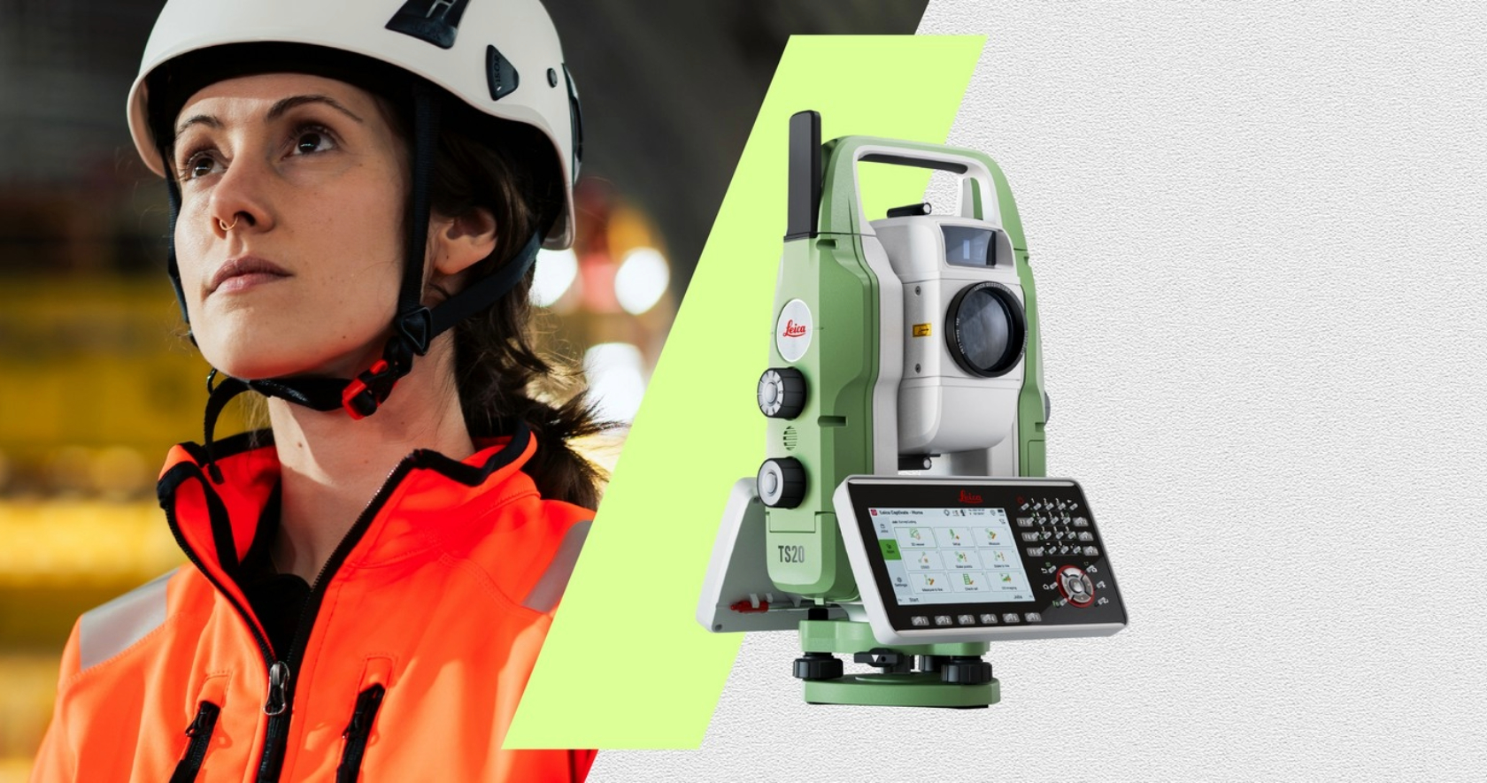
Stone+tec Nuremberg, the international trade fair and congress for natural stone and stone processing, provides Leica Geosystems with a strategic platform to present its dimensional control and 3D measurement solutions to stone fabricators, quarries, monument conservators, and architectural specifiers. Located in Hall 12, Stand A09, Leica Geosystems will showcase technologies including 3D laser scanners, total stations, and portable measurement arms—equipment used for quarry surveying, block dimensioning, slab quality control, CNC templating, and installation verification. For the stone industry, measurement precision directly impacts material yield, fabrication accuracy, and final installation quality.
Leica Geosystems at Stone+tec Nuremberg 2026: Presenting Precision Measurement Solutions for the Stone Industry
Stone+tec Nuremberg, the international trade fair and congress for natural stone and stone processing, provides Leica Geosystems with a strategic platform to present its dimensional control and 3D measurement solutions to stone fabricators, quarries, monument conservators, and architectural specifiers. Located in Hall 12, Stand A09, Leica Geosystems will showcase technologies including 3D laser scanners, total stations, and portable measurement arms—equipment used for quarry surveying, block dimensioning, slab quality control, CNC templating, and installation verification.
Stone Industry Applications: From Quarry to Finished Installation
Leica Geosystems technologies offer a complete measurement workflow across the stone value chain:
• Quarry surveying and volume calculation: Drone-based or terrestrial laser scanning for stockpile measurement and extraction planning
• Block dimensioning: Portable 3D measurement for irregular blocks to optimize cutting yield
• Slab quality control: Surface flatness measurement and thickness verification against specifications
• CNC templating: Digital template capture for worktop and cladding fabrication
• Architectural stone installation: As-built verification against BIM models and design tolerances
• Monument conservation: High-detail 3D documentation for restoration and preservation projects
• Building facade survey: Stone panel dimension verification and installation positioning
Precision Heritage: From Wild Heerbrugg to Hexagon
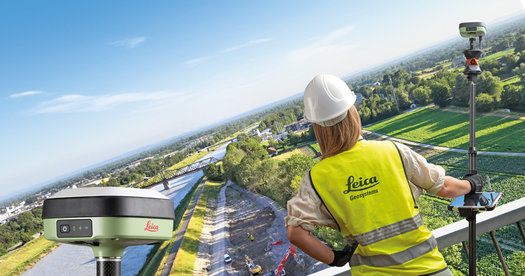
Leica Geosystems traces its roots to 1921, when Swiss engineer Heinrich Wild founded Wild Heerbrugg, a company that would become synonymous with high-precision surveying instruments. This heritage of Swiss precision engineering continues under Hexagon AB, a global leader in digital reality solutions. The company’s product portfolio encompasses: 3D laser scanners (terrestrial, mobile, and airborne), Total Stations (robotic and manual), GNSS receivers (GPS/GNSS positioning), Portable measurement arms (laser trackers and CMMs), Reality capture software (point cloud processing and 3D modelling), and Machine control systems (dozer, excavator, and grader guidance). For stone industry applications, portfolio depth ensures solutions for any scale of operation—from small workshops to large quarries and complex architectural projects.
Hexagon Group: Digital Reality Solutions for Industry 4.0
Leica Geosystems is part of Hexagon AB, a global leader in digital reality solutions combining sensor, software, and autonomous technologies. Hexagon’s ecosystem integrates measurement data with building information modelling (BIM), enterprise resource planning (ERP), and manufacturing execution systems (MES). For stone fabricators, this integration means measurement data captured in the quarry or on-site can flow directly into CNC programming, quality reports, and installation verification—reducing manual data entry, eliminating transcription errors, and accelerating project timelines.
Precision Verification for Stone Fabrication Quality
For stone fabricators producing worktops, cladding, stairs, or architectural features, dimensional accuracy determines fit, finish, and customer satisfaction. Leica Geosystems provides tools for verifying slab flatness, edge squareness, cut accuracy, and installation positioning against design specifications. The 6D measurement approach (3D position plus time, temperature, and other variables) ensures comprehensive quality control throughout the fabrication process. Non-contact laser measurement eliminates the risk of damaging finished stone surfaces.
Monument Conservation: High-Detail Documentation for Restoration Projects
Historic monuments and cultural heritage sites require specialised measurement approaches that prioritise non-contact, high-detail documentation. Leica Geosystems 3D laser scanners and structured light scanners capture millimeter-accurate surface models of carved stone, statuary, and architectural ornamentation. This data supports restoration planning, CNC replication of damaged elements, and ongoing condition monitoring. For monument conservators, Leica’s heritage of precision dating to 1921 provides confidence in measurement reliability.
Target Markets: Stone Industry, Construction, Engineering, and Conservation
Leica Geosystems serves multiple professional segments within and adjacent to the stone industry:
• Quarries and stone producers (volume calculation, block dimensioning, yield optimisation)
• Stone fabricators (CNC templating, quality control, flatness verification)
• Architectural and engineering firms (as-built verification, BIM integration)
• Monument conservators and heritage organisations (3D documentation, restoration planning)
• Construction contractors (installation positioning, facade survey)
For each segment, Leica offers tailored solutions balancing accuracy, ease of use, and workflow integration.
Engaging with Leica Geosystems at Stone+tec Nuremberg 2026
At its Stone+tec booth (Hall 12, Stand A09), Leica Geosystems will demonstrate 3D laser scanning, total station, and portable measurement technologies applied to stone industry workflows. The exhibit is designed for technical dialogue with quarry managers, stone fabricators, and monument conservators seeking to improve dimensional accuracy, material yield, and installation quality through precision measurement. Live demonstrations will show how measurement data integrates with CNC programming and quality reporting. All formal business inquiries are directed through the company’s established B2B channels.
Professional Resources and Further Information
For strategic context on the fair’s role in the natural stone industry, review the Stone+tec Nuremberg Trade Fair Overview.
To explore the complete Leica Geosystems product range and stone industry applications, visit the official Leica Geosystems website.
Frequently Discussed Topics Regarding Leica Geosystems
- What is Leica Geosystems’ core business and heritage?
Leica Geosystems develops and manufactures precision measurement and reality capture technologies. The company’s roots trace to 1921 when Heinrich Wild founded Wild Heerbrugg in Switzerland, establishing a legacy of high-accuracy surveying instruments. - How does Leica serve the stone industry?
Applications include quarry surveying and volume calculation, block dimensioning, slab quality control, CNC templating for worktops, architectural stone installation verification, and monument conservation 3D documentation. - What is the relationship between Leica Geosystems and Hexagon?
Leica Geosystems is part of Hexagon AB, a global leader in digital reality solutions combining sensors, software, and autonomous technologies for Industry 4.0 and smart infrastructure. - What measurement technologies does Leica offer?
3D laser scanners (terrestrial, mobile, airborne), total stations (robotic and manual), GNSS receivers, portable measurement arms (laser trackers, CMMs), machine control systems, and reality capture software. - Why is measurement precision critical in stone fabrication?
Dimensional accuracy determines fit, finish, and customer satisfaction for worktops, cladding, stairs, and architectural features. Non-contact laser measurement eliminates risk of damaging finished stone surfaces. - Does Leica serve monument conservation?
Yes, Leica 3D laser scanners and structured light scanners capture millimeter-accurate surface models of carved stone, statuary, and architectural ornamentation for restoration planning, CNC replication, and condition monitoring. - Why is Stone+tec a strategic platform for Leica Geosystems?
Stone+tec is Europe’s leading technical trade fair for natural stone and stone processing. For Leica Geosystems, it is a focused venue to demonstrate measurement solutions directly to quarries, fabricators, and conservators who require verification tools that live up to the promise “When it has to be right.” - How can a stone fabricator inquire about Leica measurement solutions?
Professional equipment inquiries should be directed through the official B2B channels on the Leica Geosystems website or by connecting with the technical team at Stone+tec 2026 (Hall 12, Stand A09).
About Leica Geosystems S.p.A.
Leica Geosystems is a global leader in the development and manufacture of measurement and reality capture technologies, headquartered in Heerbrugg, Switzerland. The company traces its roots to 1921 when Swiss engineer Heinrich Wild founded Wild Heerbrugg, establishing a legacy of precision instrumentation. Leica Geosystems is now part of Hexagon AB, a global leader in digital reality solutions.
The company’s portfolio includes 3D laser scanners, total stations, GNSS receivers, portable measurement arms, machine control systems, and reality capture software.
For the stone industry, Leica Geosystems provides solutions for quarry surveying, block dimensioning, slab quality control, CNC templating for worktop fabrication, architectural stone installation verification, and monument conservation 3D documentation.
Leica Geosystems will exhibit at Stone+tec Nuremberg 2026 in Nuremberg, Germany (Hall 12, Stand A09).

Our Catalogues
You should loged in to be able to see the catalogues


This platform operates on trust, professionalism, and mutual respect. All connections and communications are expected to uphold the highest standards of B2B integrity.